Our Services
Utility inspection
Priced: Per Pole
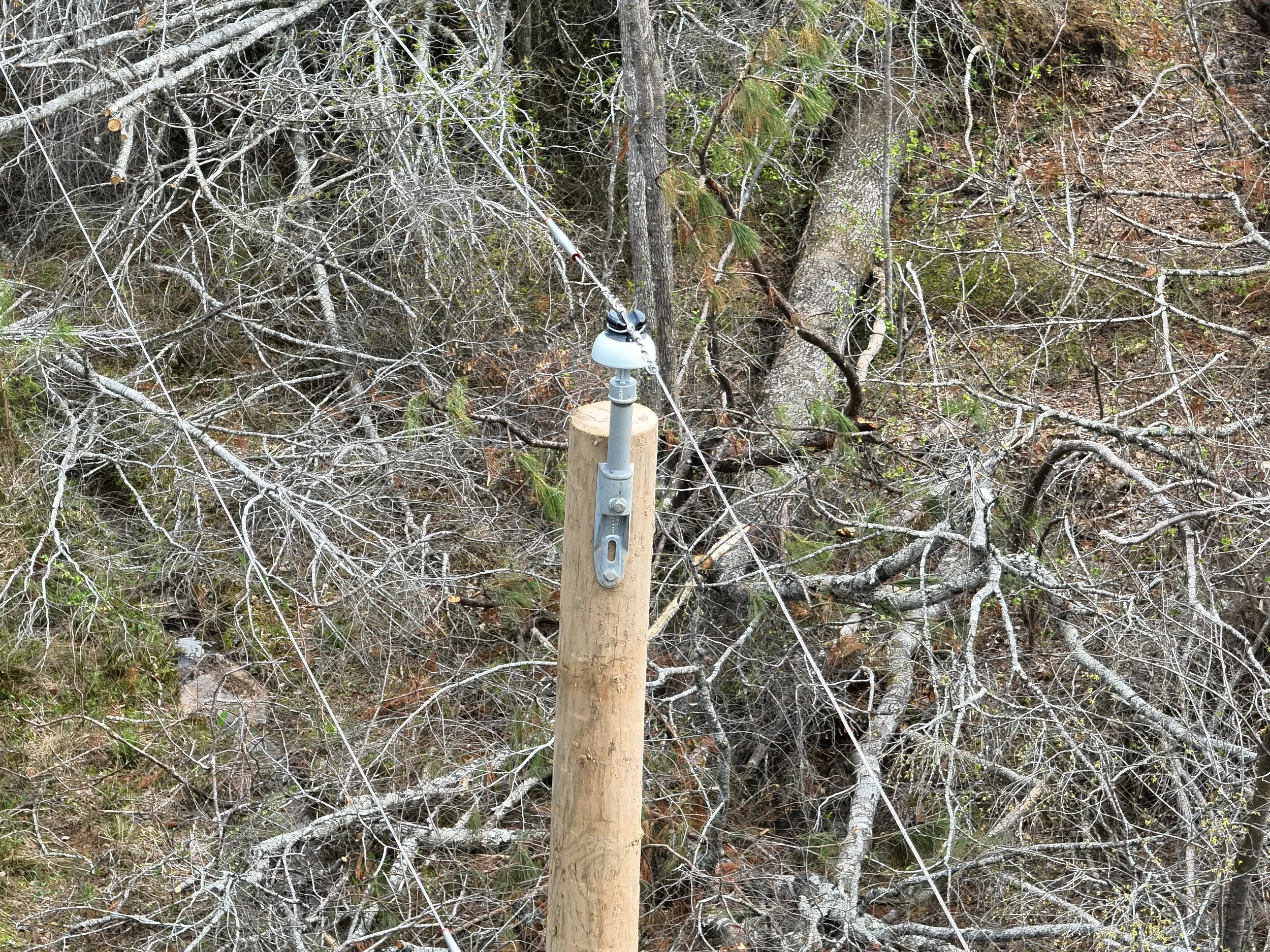
Utilize advanced drone technology for comprehensive pole top inspections. Our drones, featuring high-resolution cameras and thermal imaging, deliver detailed visual reports and actionable insights, reducing downtime and protecting your assets. Enhance your maintenance programs with efficient, accurate, and safe aerial inspections from AirGrid Drone Services. Experience the future of inspection.
ROW Mapping &Tracking
Priced: Per Mile
AirGrid delivers precise ROW mapping and project tracking solutions. Our drone surveys produce high-resolution orthomosaics and change detection reports, giving clear visibility into construction progress and right-of-way conditions. By providing timely updates and accurate geospatial data, we help teams stay on schedule, reduce rework, and make informed decisions.
storm response
Priced: Per Hour
Drones greatly improve storm response operations, making it considerably safer and more efficient for first responders. Equipped with high-resolution cameras, drones can quickly assess damage in difficult-to-reach and potentially hazardous locations, enabling teams to focus their resources effectively and plan comprehensive recovery strategies.
Contact us
Interested in working together? Fill out some info and we will be in touch shortly. We can’t wait to hear from you!


